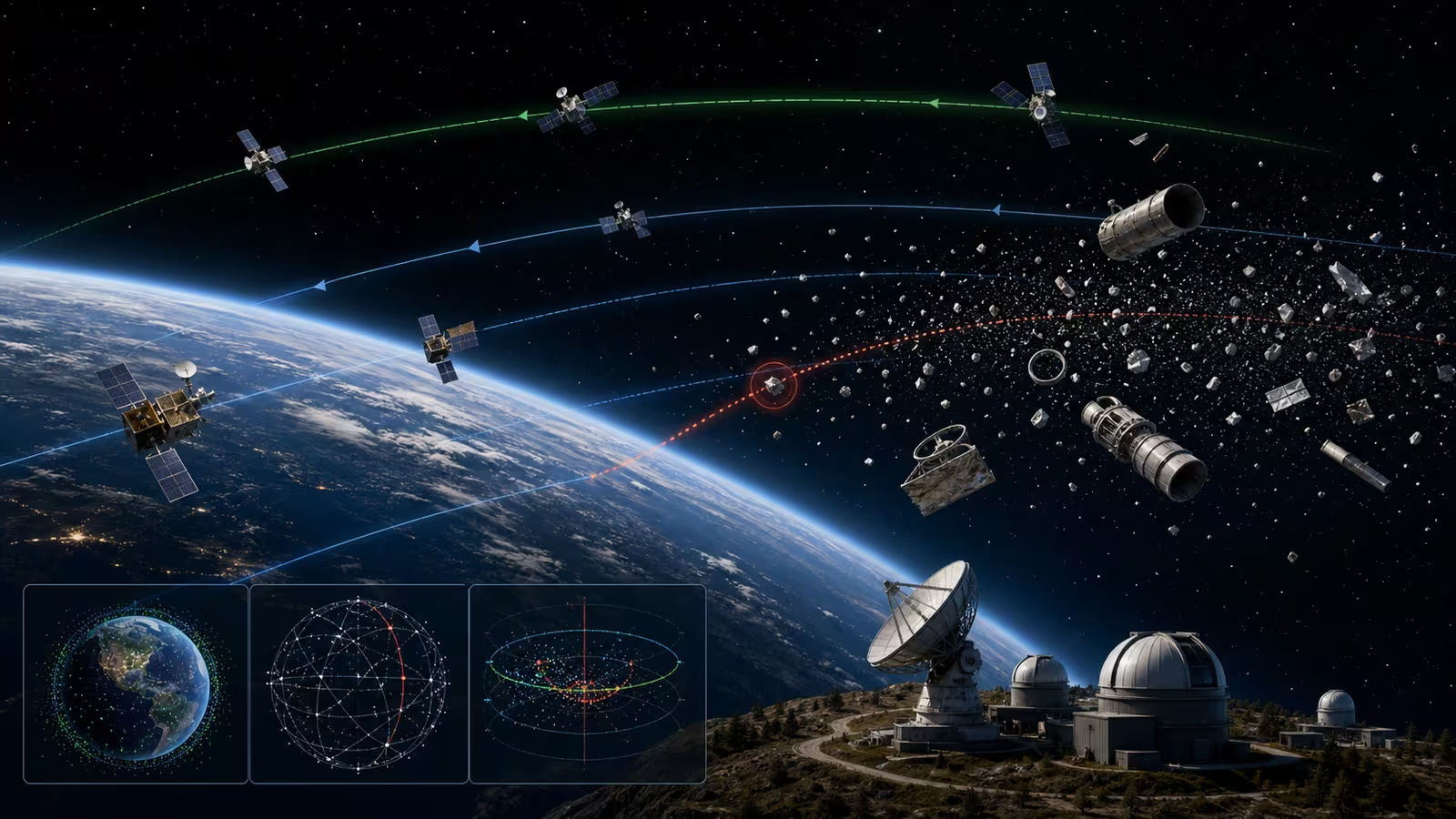

Orbit is large, but useful orbit is not empty. Working satellites, rocket bodies, fragments, deployment hardware, defunct spacecraft, and small debris all share a moving environment where speed gives even modest objects serious consequence. Space situational awareness is the practice of observing that environment, maintaining knowledge about objects in it, and helping operators decide when proximity becomes risk.
Space Debris and Orbital Traffic explains why debris is a long-term infrastructure problem. This guide focuses on the evidence layer behind day-to-day traffic decisions. A satellite operator cannot avoid an object merely because it exists. The operator needs to know where the object is likely to be, how certain that estimate is, whether the paths are meaningfully close, what a maneuver would cost, and whether moving one spacecraft creates other problems.
Observation Is the Beginning, Not the Answer
Space objects are tracked with radar, telescopes, radio measurements, laser ranging in some cases, onboard navigation, owner-operator data, and other sources depending on altitude, size, reflectivity, orbit, and available networks. Each observation captures a piece of the story. A radar return may provide range and velocity clues. A telescope may observe angles against the star field. A satellite may report its own position from onboard systems. None of these is a perfect, continuous view of all objects.
The observations have to be associated with the right object, filtered, checked, and turned into an orbit estimate. That is harder than it sounds. Objects can be faint, closely spaced after deployment, poorly characterized, maneuvering, tumbling, or observed through weather and lighting limitations. A track can be lost and reacquired. A new object can be confused with another. A catalog is therefore not a magical list. It is a maintained body of estimates.
Flight Dynamics and Orbit Determination explains how observations become trajectories. Space situational awareness depends on that math, but it also depends on operational humility. Knowing an orbit means knowing an uncertainty region, not simply drawing a clean line.
Uncertainty Decides the Workload
Conjunction assessment compares predicted paths to identify close approaches. The important question is not only whether two centerlines pass near each other. It is how uncertainty shapes the probability and consequence of a possible encounter. If an object is well tracked and its uncertainty is small, operators may have a clearer decision. If the uncertainty is large, the same predicted miss distance can be more difficult to interpret.
Uncertainty comes from measurement quality, time since last observation, atmospheric drag, solar activity, object shape, maneuvers, tracking gaps, and modeling assumptions. Low Earth orbit is especially sensitive to drag, which changes with atmospheric density and can be affected by space weather. Space Weather therefore belongs in the traffic story. A solar event can disturb predictions by changing the environment through which satellites and debris move.
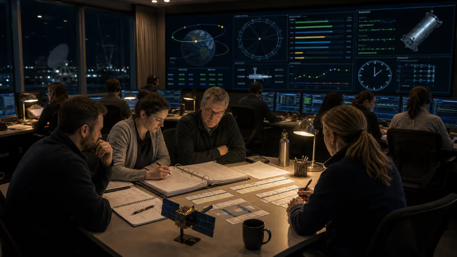
This is why conjunction notices often change as the close approach nears. New observations refine the estimate. A case that looked serious may relax. A case that looked routine may tighten. Operators need processes that can absorb updates without panic. A traffic system that alerts too easily creates fatigue. One that alerts too late leaves no room to act.
Maneuver Decisions Have Costs
Avoidance sounds simple from the outside: if two objects may come close, move one. In practice, a maneuver can consume propellant, interrupt service, disturb thermal or pointing conditions, complicate ground station scheduling, affect payload commitments, and create uncertainty about the spacecraft’s new orbit. For a constellation, moving one satellite may ripple into phasing, coverage, handover patterns, or future stationkeeping.
Satellite Propulsion and Stationkeeping explains the physical side of these small burns. Satellite Operations After Launch explains the scheduling and command discipline that turns a maneuver decision into a safe procedure. Conjunction assessment sits between them. It has to provide enough evidence for the operator to decide whether the risk of staying is greater than the cost and risk of moving.
The decision also depends on responsibility. A defunct object cannot coordinate. A piece of debris cannot receive a plan. Two active satellites may both have operators, but they may have different thresholds, maneuver capabilities, contact paths, and service obligations. Reliable data sharing can reduce uncertainty and avoid conflicting actions. Poor communication can make the orbital environment less predictable at exactly the wrong time.
Catalogs Need Owner Data
Public tracking systems are valuable, but many active satellites know things about themselves that external sensors may not. Planned maneuvers, high-precision navigation solutions, attitude modes that affect drag, deployment timelines, propulsion status, and operator constraints can all improve conjunction assessment when shared responsibly. The challenge is that owner data may be sensitive, unevenly formatted, or delayed.
Better traffic coordination does not require every operator to reveal everything. It does require practical channels for sharing what affects safety. A planned maneuver that is invisible to the catalog can make predictions wrong. A satellite that fails to report a disposal burn may remain a catalog mystery. A constellation that can provide ephemerides regularly helps the whole environment become more legible.
Satellite Constellation Design makes this issue larger. Hundreds or thousands of active spacecraft create many more screening combinations than a sparse environment. Automated tools become necessary, but automation still needs accountable thresholds, human review for consequential cases, and records that explain why action was or was not taken.
Small Objects Remain Hard
The most dangerous object for a spacecraft may not be one the system can track well. Very small debris can be below routine catalog thresholds and still damage surfaces, optics, radiators, solar arrays, or pressure vessels. Spacecraft design uses shielding, placement, redundancy, and risk analysis to live with some of that environment, but operations cannot maneuver away from every untracked particle.
This limitation matters because it keeps situational awareness honest. Tracking catalogs reduce risk; they do not make orbit clean or fully known. Satellite End of Life is part of the same ethics because every derelict object and fragmentation event can add future tracking and collision burdens. Responsible disposal is not only about one mission’s ending. It protects the measurement problem for everyone else.
Evidence Turns Traffic Into Governance
Space law and policy discussions often reach for broad phrases such as traffic management, responsible behavior, and sustainability. Those ideas depend on evidence. Operators need shared expectations about tracking quality, maneuver coordination, passivation, disposal, anomaly reporting, and the kinds of data that should accompany active spacecraft. Space Law and Orbital Governance explains the governance layer, but governance cannot work if the physical environment is poorly measured.
Space situational awareness is therefore both technical and civic. It combines sensors, orbit determination, uncertainty math, operator discipline, communication channels, and norms about what responsible missions owe one another. The goal is not to make orbit risk-free. The goal is to keep useful orbits knowable enough that satellites can serve people without turning shared space into a guessing game.