Satellite navigation is easy to underestimate because it feels like a blue dot on a phone. You open a map, the dot appears, and the world quietly organizes itself around your location. The experience is so ordinary that the infrastructure disappears. A signal from orbit reaches a device in your hand, and the device turns time into place.
Positioning, navigation, and timing is often shortened to PNT. The phrase is clunky, but it is more honest than “GPS” alone. Positioning tells you where something is. Navigation helps it move from one place to another. Timing gives systems a shared clock. The timing part is the one most people miss, and it may be the most important.
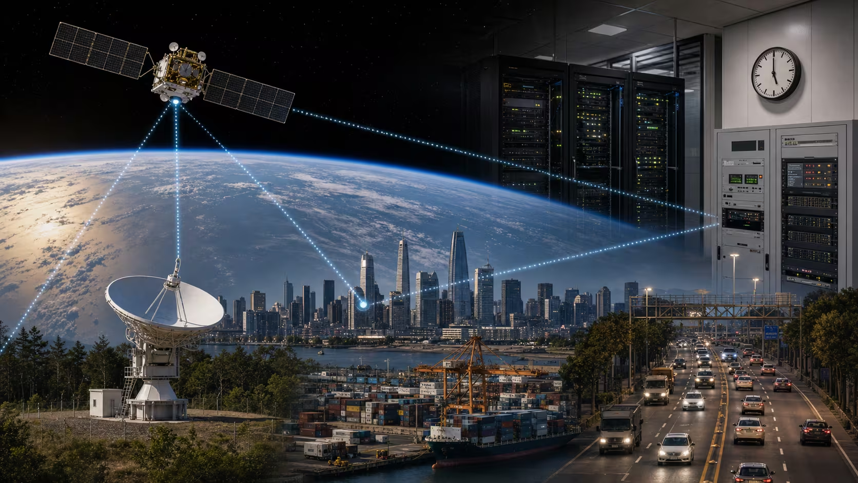
Modern life uses satellite timing far beyond turn-by-turn directions. Telecommunications networks need synchronization. Financial systems timestamp transactions. Power grids use timing for monitoring and control. Shipping, aviation, agriculture, emergency response, surveying, logistics, and scientific measurement all depend on precise time and location. The satellite signal is not only helping hikers find a trail. It is helping machines agree on when “now” is.
The clock is the map
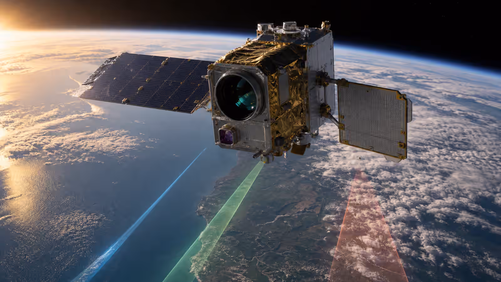
Satellite navigation works by timing. A receiver listens to signals from several satellites. Each signal carries information about where the satellite is and when the signal was sent. Because radio signals travel at the speed of light, a tiny timing difference becomes a distance. With enough satellites, the receiver can estimate its position.
That explanation sounds clean, but the engineering is subtle. The satellites need precise clocks. Their orbits must be known. The receiver has its own clock errors. The signal passes through the atmosphere. Buildings, mountains, and trees can block or reflect it. The system has to correct, estimate, and keep working well enough for the use at hand.
This is why satellite navigation is not simply a map service. The map is a layer on top. Underneath is a timing system, an orbital system, a ground control system, and a receiver trying to make sense of faint signals from far away.
Everyday location is only the visible use
Most people meet satellite navigation through phones and cars. The blue dot is useful because it solves an ordinary anxiety: where am I, and where do I go next? Delivery drivers, rideshare apps, runners, cyclists, hikers, buses, taxis, and travelers all live inside that convenience now.
But everyday convenience is only one surface. Farms use satellite positioning for precision agriculture, guiding equipment, mapping fields, and applying inputs more accurately. Construction and surveying use high-accuracy positioning to measure land and place infrastructure. Ships use navigation systems to move through ports and open water. Aircraft use satellite navigation as part of a wider navigation stack. Emergency responders use location to find people faster.
The common thread is not that satellites replace human judgment. They give people and machines a reference. The more complex the system, the more valuable a shared reference becomes.
Timing is quiet infrastructure
The timing signal may be less visible than navigation, but it reaches deep into infrastructure. A cellular network needs base stations to stay synchronized. Data networks need timing for coordination. Financial markets need accurate timestamps to order events. Power grid monitoring uses time-synchronized measurements to understand what is happening across large systems.
If timing becomes unreliable, strange problems can appear. Networks may degrade. Equipment may disagree about event order. Monitoring systems may become less useful. A power grid disturbance may be harder to analyze. A financial system may struggle to reconstruct exactly what happened and when.
This is why PNT is often treated as critical infrastructure. The satellites are in space, but the dependency is on the ground. The signal has become part of the hidden grammar of modern systems.
Weak signals create resilience questions
Satellite navigation signals are useful, but they are not invincible. By the time they reach Earth, they are weak. They can be blocked indoors, disrupted in urban canyons, reflected by buildings, interfered with, jammed, or spoofed. Jamming means overwhelming the receiver with noise. Spoofing means sending deceptive signals that make a receiver calculate the wrong position or time.
This matters because many systems adopted satellite navigation when it was convenient, then became dependent on it. A driver losing a phone map is annoying. A port, airport, grid operator, telecom system, or emergency service losing reliable timing or position can be more serious. The more important the use, the more backup matters.
Resilience can come from several layers: better receivers, antennas that reject interference, monitoring for spoofing, inertial navigation, terrestrial timing networks, fiber time transfer, local clocks, eLoran-like systems in some discussions, maps, procedures, and human training. The right backup depends on the use. The principle is simple. A system that depends on PNT should know what it will do when PNT is degraded.
There is more than one constellation
People often say GPS when they mean satellite navigation generally. GPS is the United States system, but it is not the only global navigation satellite system. Other constellations include Galileo, GLONASS, BeiDou, and regional systems that strengthen coverage in particular areas. Many modern receivers use signals from multiple constellations, which can improve availability and accuracy.
Multiple constellations also show that navigation is strategic infrastructure. A country or region that depends entirely on someone else’s timing and positioning signal may want alternatives. Space infrastructure is never only technical. It carries sovereignty, security, commerce, and diplomacy.
For ordinary users, multi-constellation navigation may simply mean the phone works better. For governments and industries, it means redundancy, bargaining power, and resilience.
Accuracy depends on the job
Not every application needs the same precision. A phone map can be useful even if the dot is off by several meters. A tractor applying seed, a surveyor measuring a boundary, a drone landing near equipment, or a financial system ordering transactions may need far tighter accuracy or timing integrity.
High-accuracy systems often use correction services, local reference stations, specialized receivers, or additional sensors. The phrase “satellite navigation” therefore covers a wide range, from casual consumer positioning to professional systems where errors have real cost.
This is a good reminder that infrastructure is not judged by one number. A system can be good enough for walking directions and not good enough for autonomous equipment. It can be accurate under open sky and weak in a city canyon. It can work on a normal day and struggle under interference. The user’s job defines the standard.
The blue dot is a public trust
The blue dot changed human behavior. People explore differently when they believe they can recover their route. Businesses promise delivery windows because they can track vehicles. Apps coordinate strangers because location is assumed. Infrastructure operators build timing dependencies because the signal is usually there.
That trust is powerful, and it deserves maintenance. Satellite navigation depends on spacecraft, ground control, spectrum protection, receiver design, policy, backups, and public understanding. It is not magic. It is a working system that can be improved, attacked, defended, misunderstood, and taken for granted.
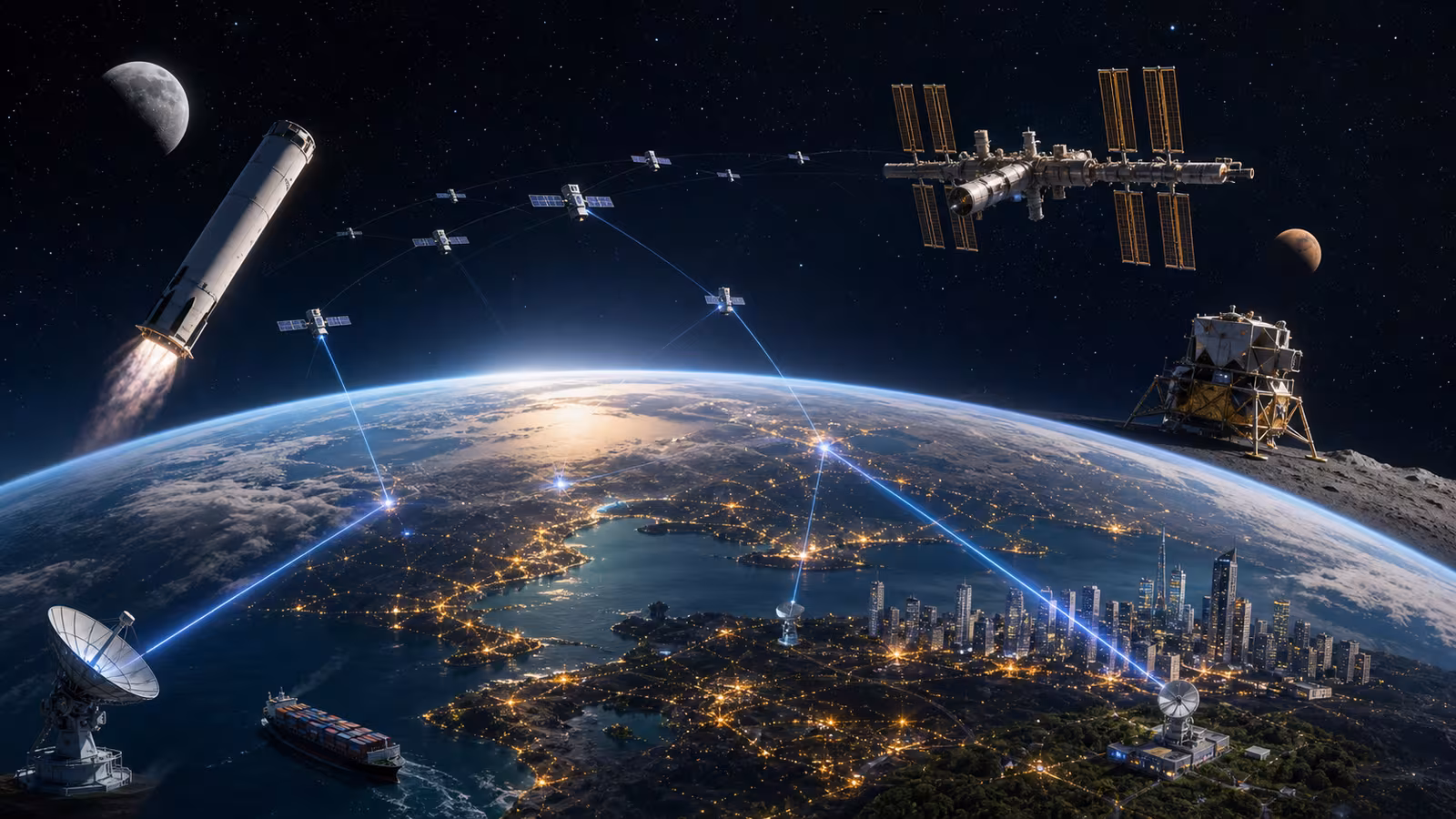
Spacefront is full of visible stories: rockets, stations, lunar hardware, satellite internet. Positioning, navigation, and timing is quieter. It does not always look like space from the ground. It looks like a map loading, a network staying synchronized, a ship entering port, a field being planted, or a timestamp lining up with another timestamp.
That is what mature space infrastructure often becomes. Not spectacle, but ordinary trust delivered from orbit.