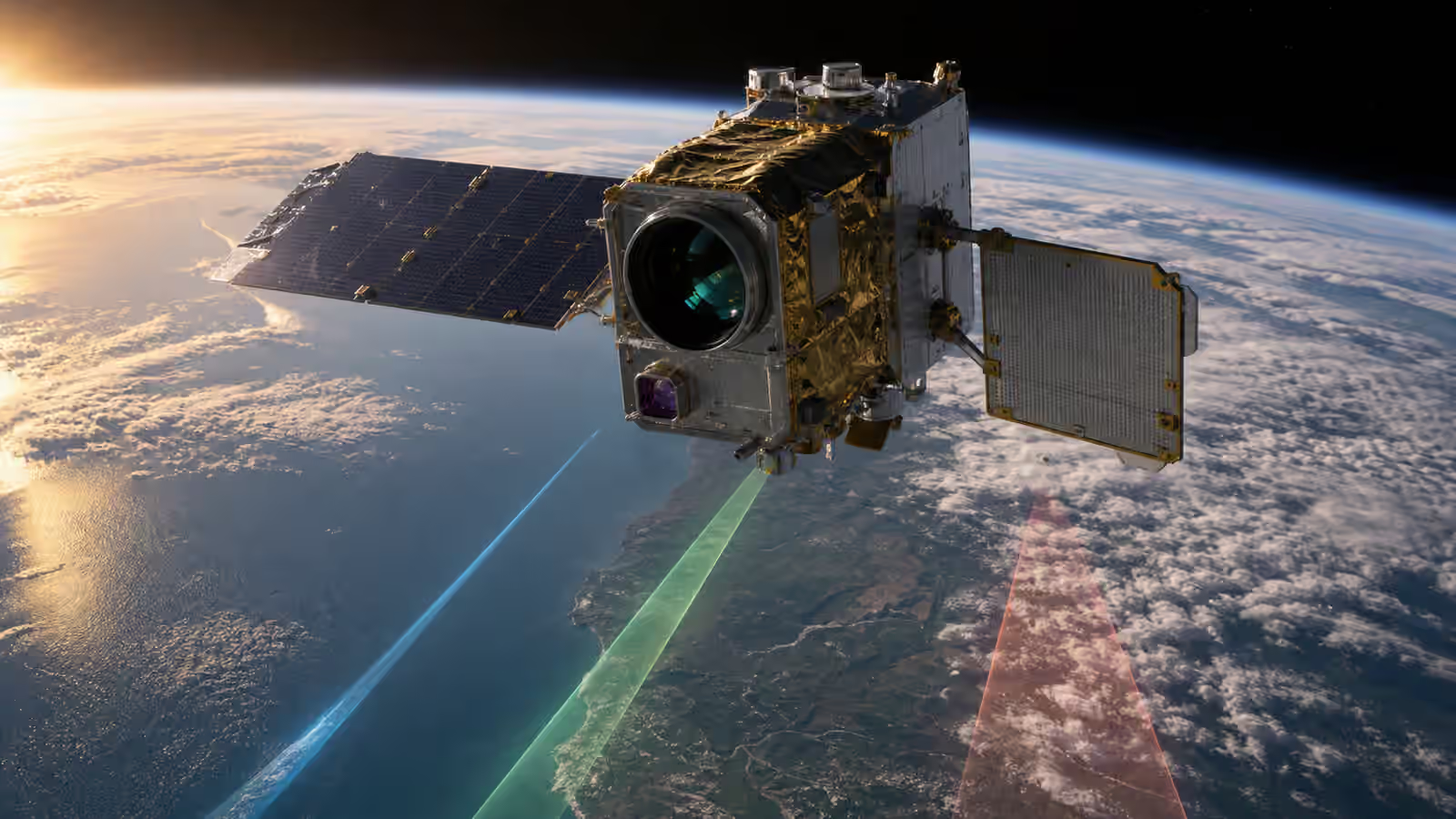
A satellite does not send down answers. It sends down measurements, telemetry, timing information, instrument states, and records of what the spacecraft was doing when the measurement happened. The useful product arrives later, after those fragments have been received, checked, calibrated, organized, corrected, interpreted, and delivered in a form that a person or machine can trust.
That journey is the satellite data pipeline. It is one of the least visible parts of space infrastructure because it often works behind the scenes. A weather map, crop-stress layer, ship-detection alert, wildfire image, broadband performance report, or climate record may feel like a finished thing. Behind it is a chain of radio links, storage systems, processing software, metadata, quality rules, operations judgment, and delivery systems that decide whether an orbital measurement becomes evidence or noise.
Ground Stations explains how data crosses from spacecraft to Earth. Satellite Onboard Computers and Data Handling explains how the spacecraft stores, prioritizes, and protects data before contact. The pipeline begins where those two stories overlap. It asks what happens after the bits arrive and before anyone makes a decision from them.
Raw Data Is Not Yet Knowledge
Raw satellite data can be impressive and still be incomplete. A sensor may record brightness values, radar returns, temperature readings, timing marks, or navigation measurements, but those values need context. The processing system needs to know when the measurement was taken, where the spacecraft was, how it was pointed, which sensor mode was active, what calibration state applied, whether the instrument was warm or stable, and whether the downlink arrived cleanly.
This context is carried as metadata. It can sound like bookkeeping, but it is part of the measurement. A pixel without time and geometry is not very useful. A radar return without orbit knowledge is hard to place. A temperature reading without instrument state may be misleading. Metadata is how the pipeline remembers the circumstances of the observation.
The first job is therefore not interpretation. It is preservation and reconstruction. Files may be assembled from packets. Missing pieces may be requested again if the system allows it. Checksums and error-correction records may reveal whether the received data matches what the spacecraft sent. Telemetry may be paired with payload output so analysts can tell whether the instrument was healthy. The pipeline is already making a quiet promise: the product will not pretend to be cleaner than the evidence allows.
The Downlink Is a Handoff
The moment data reaches the ground is a handoff, not a finish line. A low-Earth orbit spacecraft may have only a short ground pass, so a payload recorder can empty part of its queue in a compressed burst. A constellation may send traffic through several stations. A satellite with Inter-Satellite Links may move data through an orbital mesh before it reaches a gateway. Each path can affect latency, completeness, and operational confidence.
Communications design shapes this handoff. The link described in Satellite Antennas and Link Budgets determines how much data can move, under which geometry, and with how much margin. If a pass is weak, the pipeline may receive a partial scene. If the station is busy, a lower-priority product may wait. If a disaster observation is urgent, operators may schedule a better contact or change onboard priorities so the freshest data comes down first.
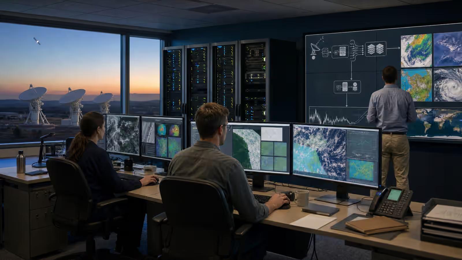
Once received, the data usually moves through terrestrial networks to processing systems. That may happen inside an agency facility, a commercial operations center, a cloud environment, or a mixture of partners. The space part of the pipeline is glamorous because it crosses orbit. The ground part is often where scale and discipline matter most. Storage, access control, logging, versioning, and recovery procedures decide whether a stream of observations can become a dependable service.
Calibration Turns Signal Into Measurement
Calibration is the difference between a sensor value and a trustworthy measurement. Instruments have quirks. Detectors respond differently across their surface. Optics change with temperature. Electronics add noise. Radar systems need timing precision. A camera may see the same landscape differently as sun angle, viewing angle, or atmospheric conditions change. A pipeline has to account for those realities before the data can be compared across time or place.
For optical imagery, calibration may correct detector response, remove known instrument effects, and connect raw brightness to a physically meaningful scale. Geometry then places the observation on Earth so rivers, roads, fields, clouds, and coastlines line up with maps. Atmospheric correction may be needed when the goal is not just a picture but a measurement of vegetation, water, smoke, dust, or surface properties. Radar processing has its own discipline, turning timed echoes into images or motion clues while handling geometry, speckle, and viewing angle.
Calibration is not magic. It is a record of assumptions and tests. A product that looks polished can still carry uncertainty. Clouds, haze, shadows, terrain, glare, sensor saturation, radio interference, or unusual geometry can limit what the pipeline can honestly say. Mature pipelines do not hide those limits. They attach quality flags, uncertainty estimates, processing levels, or notes that help users understand when the data is strong and when caution is needed.
This is why Satellite Manufacturing and Testing reaches beyond the clean room. Measurements made before launch, calibration targets, thermal-vacuum behavior, alignment records, and instrument checks may all become part of the processing story years later. A data pipeline inherits the spacecraft that was actually built and tested, not the ideal instrument described in a proposal.
Processing Adds Context Without Removing Judgment
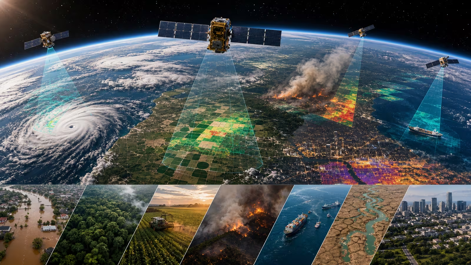
After calibration, processing can create products that are easier to use. A single image may become a georeferenced scene. Many scenes may become a mosaic. Repeated observations may become a change map. Spectral bands may become vegetation indices, water masks, burn scars, snow cover estimates, or urban heat layers. Radar images may reveal floods under clouds, ship positions, ground deformation, or sea ice structure. Navigation and timing data can become corrections, integrity checks, or service-quality records.
The product is often smaller than the raw data in one sense and richer in another. It may discard irrelevant instrument detail while adding location, time, confidence, and domain meaning. A farmer does not usually want detector counts. A forecaster does not want a pile of raw packets. A maritime analyst does not want an unlabeled radar swath. They want a product that answers a practical question without hiding how it was made.
Earth Observation Is Everyday Infrastructure focuses on the services that come from seeing the planet repeatedly. The pipeline is how those services avoid becoming pretty pictures with weak memory. It keeps track of processing versions, input scenes, calibration choices, masks, thresholds, and delivery times. If a product changes because the algorithm improved, users need to know whether the planet changed or the processing changed.
That distinction matters for long records. Climate, land use, ice, vegetation, and ocean products gain value when observations can be compared across months, years, and decades. Reprocessing old data with better methods can be useful, but it must be labeled carefully. A trustworthy archive is not only a warehouse. It is a history of how the data was turned into products.
Latency Changes the Meaning
Speed changes what satellite data can do. An image of a flood plain is useful for research after the season. It is different when responders receive it while roads are still blocked. A wildfire detection product has one value as an archive and another value when it helps prioritize aircraft, crews, or evacuation awareness. A ship-detection cue, weather update, or communications performance alert may lose value if it arrives too late.
Latency is shaped by the whole chain. The spacecraft has to collect the observation, store it, schedule a downlink, close the link, move the data through the ground network, process it, check it, and deliver it. Onboard filtering can help when the satellite discards cloudy scenes or prioritizes likely events. More ground stations can reduce waiting. Crosslinks can route data to a better gateway. Faster processing can compress the time between reception and delivery. Each improvement has tradeoffs in power, cost, complexity, security, and quality control.
Not every product should be rushed. A rapid disaster layer may accept more uncertainty if it is clearly marked and reviewed as better data arrives. A climate record should usually prefer consistency and traceability over speed. A commercial alert service may need a balance between fast delivery and false positives. A scientific product may need slower calibration so future researchers can trust it. A mature pipeline knows that speed is not a universal virtue. It is a requirement that must fit the use.
Trust Travels with the Product
A satellite product can influence public decisions, markets, emergency work, insurance, navigation, farming, logistics, and security. That means trust has to travel with the data. Users need to know the source, time, processing level, quality flags, version, permissions, and limitations. They also need confidence that the product was not altered, mislabeled, or delivered through a compromised path.
This connects directly to Satellite Cybersecurity and Resilience . Protecting a satellite system is not only about keeping bad commands away from spacecraft. It is also about protecting data integrity after downlink. A false product can be damaging even if the satellite itself is healthy. A missing product can create uncertainty at exactly the wrong time. A system that cannot explain its own history will struggle when users ask why a decision was made.
Provenance is the pipeline’s answer to that problem. It records where data came from and what happened to it. A good provenance trail can show which satellite collected the scene, which ground station received it, which processing version ran, which inputs were used, which quality checks passed, and when the result was delivered. That trail does not make every product perfect. It makes the product accountable.
The Pipeline Is Part of the Mission
It is tempting to draw the mission boundary around the spacecraft. The satellite is the machine in orbit, so the data system on Earth can look secondary. In practice, the pipeline is part of the mission architecture. A sensor that produces more data than the system can process creates a backlog, not value. A high-resolution imager without calibration discipline creates attractive uncertainty. A rapid-alert service without provenance creates fragile trust. A climate archive without stable processing records loses part of its memory.
When reading about a space system, ask what happens after downlink. How are packets reconstructed? What metadata travels with the measurement? What calibration is applied? Which quality flags tell users when to be careful? How quickly does the product arrive? Can old products be reproduced? Who can see the processing history? What happens if a ground station, cloud service, or software release fails?
Those questions are not narrow technical details. They decide whether space data can become infrastructure. The satellite offers perspective. The pipeline gives that perspective discipline, memory, and a route into ordinary decisions on Earth.