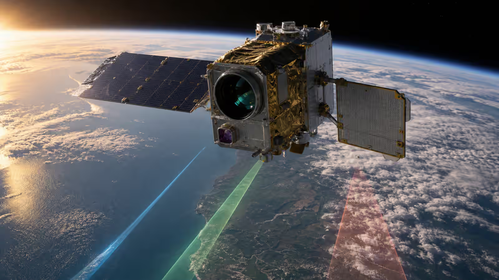

Space data becomes valuable when people can trust what it represents. A satellite image, infrared measurement, radar return, atmospheric profile, spectrum, or navigation signal is not automatically meaningful because it came from orbit. The payload has to be calibrated, the product has to be validated, and the uncertainty has to be carried forward honestly. Without that discipline, a beautiful scene from space can become a confident mistake.
Calibration and validation are sometimes treated as specialist chores after the exciting engineering is done. They are better understood as part of the mission’s promise. Earth Observation Sensors explains why different instruments answer different questions. Satellite Data Pipelines explains how measurements move from downlink to product. Calibration and validation decide whether those measurements mean what users think they mean.
A Sensor Does Not Measure in Human Terms
A payload usually begins with a physical response. A detector counts photons, an antenna receives echoes, a clock tracks timing, a spectrometer separates wavelengths, or an electronics chain turns a signal into numbers. Users rarely want those raw counts by themselves. They want surface reflectance, sea state, soil moisture, temperature, crop stress, vessel location, timing accuracy, atmospheric composition, or another interpretation tied to the world.
Calibration is the bridge between instrument response and physical meaning. It accounts for detector behavior, gain, offset, noise, temperature effects, viewing geometry, timing, spectral response, antenna patterns, and the way the instrument changes over time. Some calibration happens before launch in laboratories. Some happens after launch using onboard references, celestial targets, stable ground sites, cross-comparisons with other sensors, or carefully measured field campaigns.
The key point is that calibration is not a one-time stamp. Launch can change alignment. Radiation can affect electronics. Contamination can alter optical surfaces. Thermal cycles can shift behavior. A sensor that was well characterized in a clean room still has to prove itself in orbit. Spacecraft Materials and Contamination Control matters because surface cleanliness and material choices can become data-quality issues, not only hardware-preservation issues.
Validation Checks the Product Against Reality
Validation asks whether the derived product is useful for its claimed purpose. A calibrated sensor can still produce a product that fails a user need because the algorithm is weak, the assumptions are narrow, the metadata is incomplete, or the ground truth is not representative. Validation compares space-derived results with trusted references, independent measurements, field observations, models, or other instruments.
The phrase ground truth can be misleading because the ground is not automatically true. Field measurements have their own errors, sampling limits, instruments, timestamps, and local conditions. A satellite pixel may cover a mixture of surfaces while a field sensor samples one point. A radar scene may depend on soil roughness, moisture, vegetation, and viewing geometry. Validation has to respect scale and context.
This is why serious validation work often sounds cautious. It does not say the satellite sees everything. It says the product performs within known bounds for specific conditions, resolution, latency, and use cases. That caution is not weakness. It is what lets downstream users decide whether the data is fit for a decision.
Metadata Keeps Data From Becoming Orphaned
Payload data needs context. A scene without acquisition time, orbit, instrument mode, calibration version, processing level, viewing geometry, quality flags, and provenance is vulnerable to misuse. People may still admire it, but they cannot reliably compare it, combine it, or audit it. Metadata is the memory that travels with the measurement.
Satellite Data Pipelines emphasizes provenance because space data often passes through many transformations. Raw telemetry becomes packets, packets become instrument data, instrument data becomes calibrated measurements, calibrated measurements become products, and products may feed maps, alerts, models, or dashboards. Each step can add value or hide uncertainty.
Quality flags deserve special respect. They may indicate cloud cover, saturation, low signal, high viewing angle, missing lines, suspected interference, timing issues, calibration limitations, or algorithm confidence. A user interface that hides these flags can make bad data look clean. A pipeline that preserves them lets careful users avoid false precision.
Drift Is a Mission Behavior
Payloads age. Detectors degrade, optics collect contamination, electronics shift, thermal control changes, fuel use alters operations, and orbital local time may drift for some missions. Calibration has to notice gradual change before it becomes a silent product error. A satellite that produces the same file format for five years may still be producing measurements under changing conditions.
Trend analysis is therefore part of data quality. Engineers compare instrument response over time, watch calibration references, monitor dark signals, inspect noise, and look for seasonal or geometry-driven patterns that could be mistaken for real-world change. This is especially important for climate records, land-use monitoring, infrastructure change detection, and any application where small differences over time matter.
Satellite Operations After Launch is tied to this because operations choices can influence data quality. A payload run at a different temperature, a downlink compression change, a new pointing schedule, or a software update may affect products. Calibration teams need to know those changes occurred, and operators need to know when data quality is part of the mission health picture.
Cross-Calibration Builds a Larger Record
Many space-data uses depend on comparing measurements across missions. One satellite may replace another. Several satellites may form a constellation. Public and commercial data may be combined. Cross-calibration helps align instruments so that differences in products reflect the world rather than quirks of the sensors. This work can involve shared targets, overlapping observations, common processing approaches, and careful uncertainty accounting.
Satellite Constellation Design makes this a fleet problem. If a constellation contains many satellites, users may expect consistent output no matter which vehicle collected the data. Manufacturing variation, launch dates, calibration histories, viewing geometry, and aging can all challenge that expectation. A fleet is only as consistent as its calibration discipline.
Cross-calibration also protects long records. A crop analyst, hydrologist, city planner, emergency manager, or researcher may compare scenes across seasons and years. If the instrument baseline shifts without clear documentation, the user may attribute a sensor change to the landscape. That is one of the quiet ways space data can mislead.
Trust Is a Product Feature
Calibration and validation rarely appear in a glossy mission rendering, but they decide whether space data can be used responsibly. Trustworthy data does not have to be perfect. It has to be described honestly. It should tell users what was measured, how it was processed, what quality limits apply, what changed since earlier versions, and where caution is needed.
This makes calibration a communication task as well as a technical one. A product that buries uncertainty in obscure files may be technically documented but practically unsafe. A product that exaggerates confidence may win attention and lose credibility. The best space-data missions build trust by making evidence available, limits visible, and corrections traceable.
Space infrastructure is not only rockets, antennas, and satellites. It is also the disciplined chain that turns faint orbital measurements into facts people can use. Calibration and validation keep that chain honest.