Earth observation sounds like a single activity until you ask what the satellite is actually measuring. A camera, a radar instrument, an infrared sensor, and a microwave radiometer can all look at the same coastline and return different truths. One may show a cloudless picture of farms and roads. Another may see through cloud and darkness to map floodwater or surface texture. Another may show heat, fire behavior, sea surface patterns, or the thermal character of a city after sunset.
The difference matters because the value of space data does not come from altitude alone. It comes from choosing the right measurement for the question. Earth Observation Is Everyday Infrastructure explains why orbital data now supports weather, farming, logistics, disaster response, and environmental monitoring. This guide goes one layer deeper into the payloads that make those services possible.
Looking Is Not One Measurement
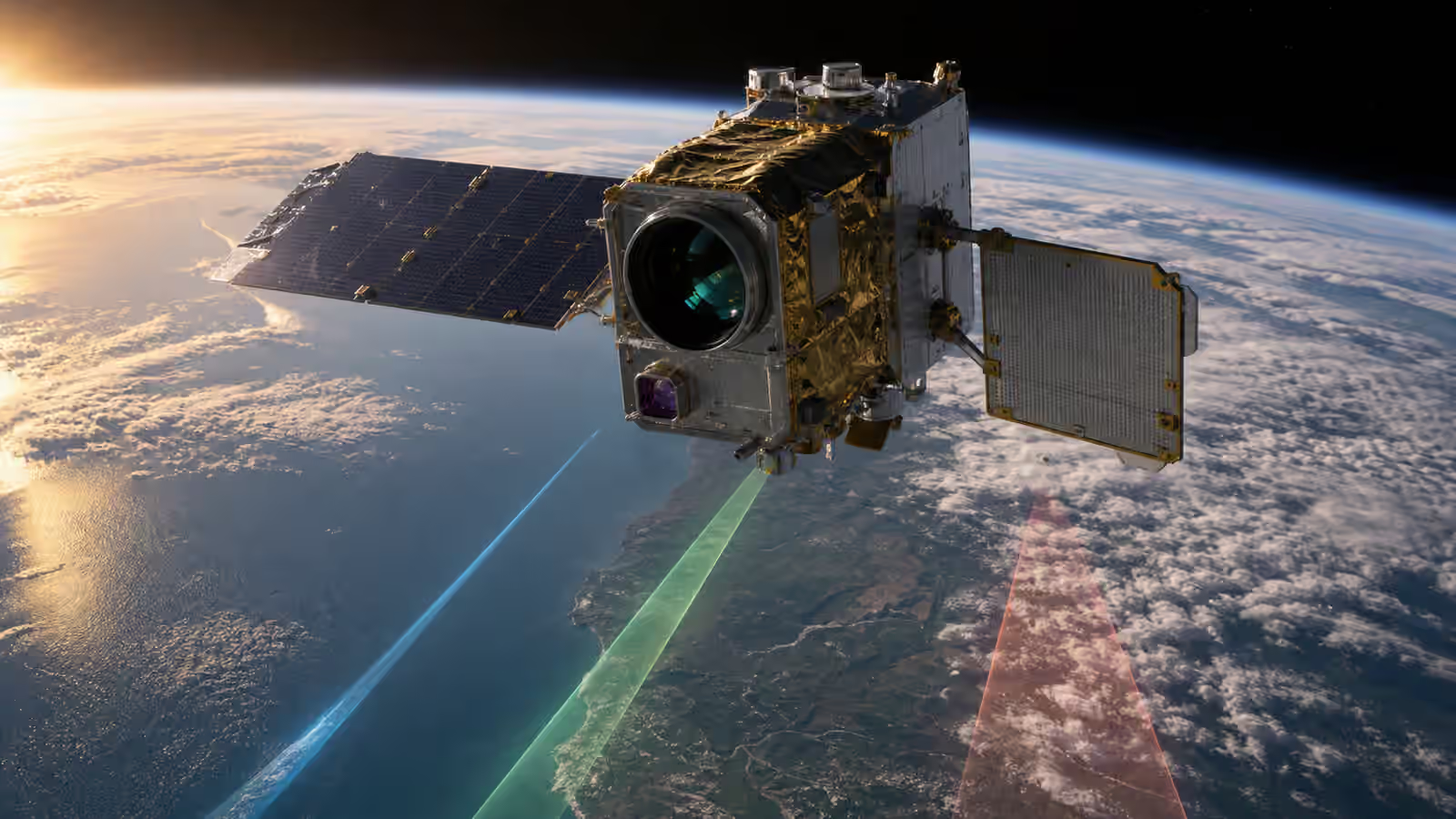
A satellite sensor turns physical interaction into data. Sunlight reflects from land and water. Heat radiates from surfaces. Radar pulses bounce back from terrain, buildings, ice, vegetation, and waves. Atmospheric gases absorb or emit energy in particular bands. The instrument does not simply take a picture from far away. It records a carefully selected slice of the electromagnetic spectrum and hands that record to engineers, scientists, and analysts who must interpret it correctly.
This is why two images of the same place can disagree without either being wrong. A visible-light image may show a field as green. A near-infrared measurement may reveal plant stress before the eye would notice it. A radar image may show floodwater beneath clouds after a storm. A thermal image may show surfaces that are still warm after the sun has set. Each sensor is biased toward certain questions.
The common mistake is to treat resolution as the only measure of quality. Sharpness helps, but it is not enough. A sharper visible image is not useful if clouds hide the target. A radar image may look strange to people used to photography, yet it may be exactly what an emergency team needs at night. A lower-resolution thermal measurement can still be valuable if it catches a broad heat pattern at the right time.
Optical Sensors See Reflected Light
Optical Earth observation is the most familiar because it resembles photography. These sensors record sunlight reflected from the surface in visible and near-visible bands. A natural-color image can show roads, fields, rivers, ports, buildings, coastlines, snow, and smoke in a way most people immediately understand.
But professional optical sensing is more than a pretty picture. Multispectral and hyperspectral instruments divide light into bands that reveal features the human eye cannot separate well. Vegetation reflects strongly in near infrared when leaves are healthy. Water, soil, snow, minerals, and built surfaces each have spectral habits. By comparing bands, analysts can infer crop vigor, burned area, sediment in water, surface materials, or changing land cover.
Optical sensors also carry tradeoffs. They need illumination, so night scenes require different techniques. Clouds can block the surface. Haze, smoke, sun angle, shadows, and atmosphere can change how the image appears. A satellite that takes a beautiful optical image in one season may need careful correction before that image can be compared with another image months later.
That correction is not cosmetic. It is part of turning an observation into a measurement. If a farmer, city planner, disaster team, or climate analyst is going to compare scenes across time, the data must be calibrated, geolocated, and processed with care. The image begins in orbit, but the trust is built through the pipeline described in Satellite Data Pipelines .
Radar Brings Its Own Illumination
Synthetic aperture radar, often shortened to SAR, works differently. Instead of waiting for sunlight, a radar satellite sends radio energy toward Earth and records the return. Because it carries its own illumination, it can collect data at night. Because many radar wavelengths pass through cloud, it can observe when optical sensors are blocked.
That makes radar valuable for floods, sea ice, landslides, ships, ground movement, forests, and surface change. It can detect patterns that do not look like ordinary photographs. Smooth water often appears dark because the radar energy reflects away from the satellite. Rough seas, buildings, metal structures, and certain terrain can appear bright. Repeated radar passes can also reveal small changes in ground position, which is useful for monitoring subsidence, volcanoes, glaciers, and infrastructure movement.
Radar has its own complications. The images can be unintuitive. Geometry matters. Slopes, tall buildings, and viewing angle can create layover, shadow, or bright returns that require interpretation. The instrument also demands power, antenna design, timing precision, and a communications plan that can handle large data volumes. A radar spacecraft is not just a camera with a different filter. It is a different kind of measurement machine.
Radar also connects to the communications side of a satellite. Antenna design, frequency choice, bandwidth, onboard storage, and downlink capacity all shape what the mission can deliver. The guide to Satellite Antennas and Link Budgets explains why moving data and radiating signals are mission design problems, not afterthoughts.
Infrared Sensors Measure Heat and Emission
Infrared sensing opens another view. Some infrared bands are useful for vegetation and moisture. Thermal infrared bands measure emitted energy related to temperature. That can reveal wildfires, urban heat, volcanic activity, sea surface patterns, cloud properties, land surface temperature, and the cooling behavior of materials.
Thermal data is not the same as holding a thermometer to every square meter. The sensor records radiation, and the interpretation depends on atmosphere, surface properties, viewing geometry, calibration, and resolution. A roof, a field, a road, a forest, and a lake can emit and reflect energy differently. The useful question is often comparative and contextual: which areas are hotter than surrounding areas, how does the pattern change over time, and what other data explains the difference?
Infrared sensors also remind us that the spacecraft has its own temperature story. Detectors may need stable thermal conditions. Some instruments need cooling. The satellite around the payload must control heat so the measurement remains meaningful. Satellite Thermal Control is therefore not separate from Earth observation. It is part of the instrument’s ability to stay honest.
Revisit, Resolution, and the Shape of the Question
Every sensor sits inside a mission design. High spatial resolution can show detail, but it may cover less area or require more data handling. Frequent revisit can catch change, but it may require a constellation, wide swath, or orbit choices that trade away other qualities. Spectral detail can reveal subtle materials, but it may demand careful calibration and larger files. Radar can see through weather, but interpretation takes skill. Thermal data can reveal broad patterns, but small targets may be hard to separate if pixels are large.
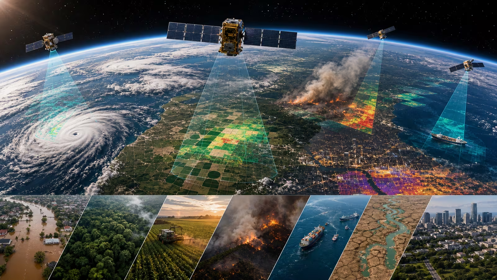
The correct sensor depends on the decision being supported. A disaster response team after a hurricane may care more about timely flood extent than beautiful imagery. A forestry analyst may need consistent seasonal observations. A city studying heat may need nighttime thermal patterns. A ship-tracking workflow may need radar and radio-frequency context. A crop-monitoring system may combine optical and near-infrared data with weather and ground reports.
This is why modern Earth observation is moving toward combinations. No single instrument sees everything. The most useful products often blend sensor types, repeat observations, metadata, models, and human judgment. The satellite starts the chain, but the product is created by matching measurement to need.
Calibration Turns Seeing Into Trust
A sensor that drifts can still produce images, but those images become harder to trust. Calibration ties the instrument’s output to known references. It helps analysts compare data across time, across satellites, and across conditions. Without calibration, a change in the image might be a real change on Earth, or it might be the instrument aging, the atmosphere shifting, the processing changing, or the sun angle differing.
Validation then asks whether the satellite-derived result agrees with reality closely enough for its intended use. That can involve ground measurements, aircraft data, reference sites, cross-comparison with other sensors, or careful error analysis. The goal is not perfection. The goal is to know what the data can support and where caution is needed.
This is the quiet discipline behind confident maps. A wildfire perimeter, flood layer, crop index, shoreline change product, or heat map should not merely look plausible. It should carry enough provenance, calibration, and processing context that users understand its limits. Space data becomes infrastructure only when people can depend on it without mistaking a pretty view for a finished answer.
Different Ways of Seeing Make Better Decisions
The best way to read an Earth observation product is to ask what kind of seeing created it. Was the satellite measuring reflected sunlight, radar return, emitted heat, atmospheric absorption, or some combination? What orbit shaped the timing? What resolution and revisit were possible? What processing happened after downlink? What uncertainty remains?
Those questions make satellite imagery more useful and less magical. They also explain why the field keeps expanding. A world observed only in visible light would miss clouds, darkness, heat, surface motion, and spectral clues. A world observed only by radar would miss color, many biological signals, and the intuitive context of optical images. A mature observation system needs multiple instruments and a careful chain from physics to decision.
The satellite may be hundreds of kilometers above Earth, but the hard work is specific. Pick the right measurement. Calibrate it. Process it honestly. Compare it with other evidence. Then turn it into something a person or system can use. That is how orbital seeing becomes practical knowledge.